|
|
|
We are a total consulting company for mapping contents, including, Digital Maps, Aerial Surveys, and GIS.
We are a technical consultant dealing in areas from data creation to system construction.
|
|
| |
| ■■ Consultancy ■■ |
| ■ |
Development of GIS projects |
| ■ |
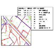
Input, processing, production of GIS data |
| ■ |
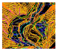
Digital Mapping in 2D/3D |
| ■ |
Aerotriangulation |
| ■ |
Creation of Landscape simulation |
| ■ |
Processing digital images |
| |
|
|
| ■■ Order ■■ |
| ■ |
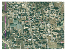
Creation of Orthophoto |
| ■ |
Aerotriangulation |
| ■ |
GPS/IMU |
| ■ |
Control point |
| ■ |
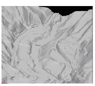
3D Modeling |
| |
GIS is most effective by combining data and systems.
We support our customers through data creation and system construction
We provide services based on customer needs. |
|
 |
|
| |
| ■■ Mirukuru Co.,Ltd■■ |
| ・URL |
http://www.mirukuru.co.jp/ |
| ・Address |
Fuji Bldg. 7th floor, 15-14 sakuragaoka-cho,shibuya-ku Tokyo 150-0031 Japan |
| ・TEL |
+81-3-5784-3170 |
| ・FAX |
+81-3-5784-3171 |
| ・E-Mail |
info`mirukuru.co.jp |
| |
|
|